Bikepacking across the Swiss Alps - riding the #1 Swiss MTB Route
Mountains are a big part of mountain biking - so why not ride across a mountain range?
Mountains are by no means an essential part of mountain biking, because if they were there are whole parts of the globe where mountain biking shouldn't be as popular as it is. Regardless of that, I have always been drawn to the mountain ranges of the world, specifically to explore them by bike.
Mountain ranges actually have a gravitational pull, and while none of us will notice it, perhaps there is something about it that explains the attraction many of us have to vertiginous places. Over the history of human kind, mountains have acted as natural borders (they still do), a home for sleeping gods, places of sanctuary and even providers. Many parts of Europe still rely on the snow melt from each winter as essential drinking water for huge parts of the population. In many countries including our own, the energy from gravity and water caught by mountains drives hydroelectric schemes for the energy we need every day.
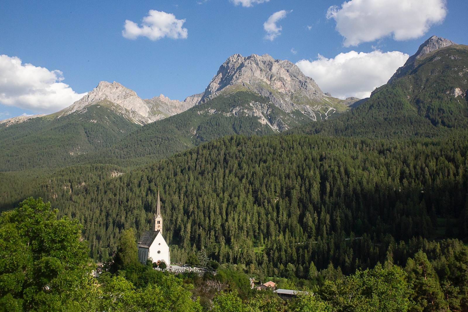
On a personal level, mountains feed my love for life. I never feel more alive and grounded than when in a mountainous environment. This has rung true since my childhood, although until I was in my teens I didn't tend to spend time in true mountains. Through my teenage years I did end up on countless hiking and mountain biking trips into the Blue Mountains, climbing trips to New Zealand's Southern Alps, then extended dirtbag mountain bike trips through the Rockies, Appalachia, Tetons, Cascades and even the Lost Sierras in the USA during my twenties. I find it easy to get to get lost staring at a horizon near or far when in the mountains. Not day dreaming, just content.
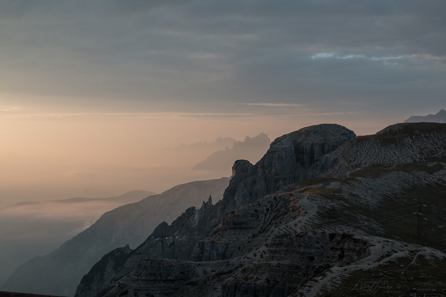
There is one alpine chain that has drawn me back, sometimes more than once a year, for nearly two decades. The European Alps have a special place in my psyche. The mountains have shaped languages, culture, trade, the geopolitical history of the world we live in and also the progression of so many different mountain sports, including nearly every discipline of cycling. I've had many adventures in these mountains, and some hardship. Mountain bike events first lured me to the European Alps in 2007, for single day races, big rides and multi-day events. I'm not the only person to feel at home in the mountains, and I'd say that the majority of my friendships, and even the foundation for my relationship, has been developed in the alps.
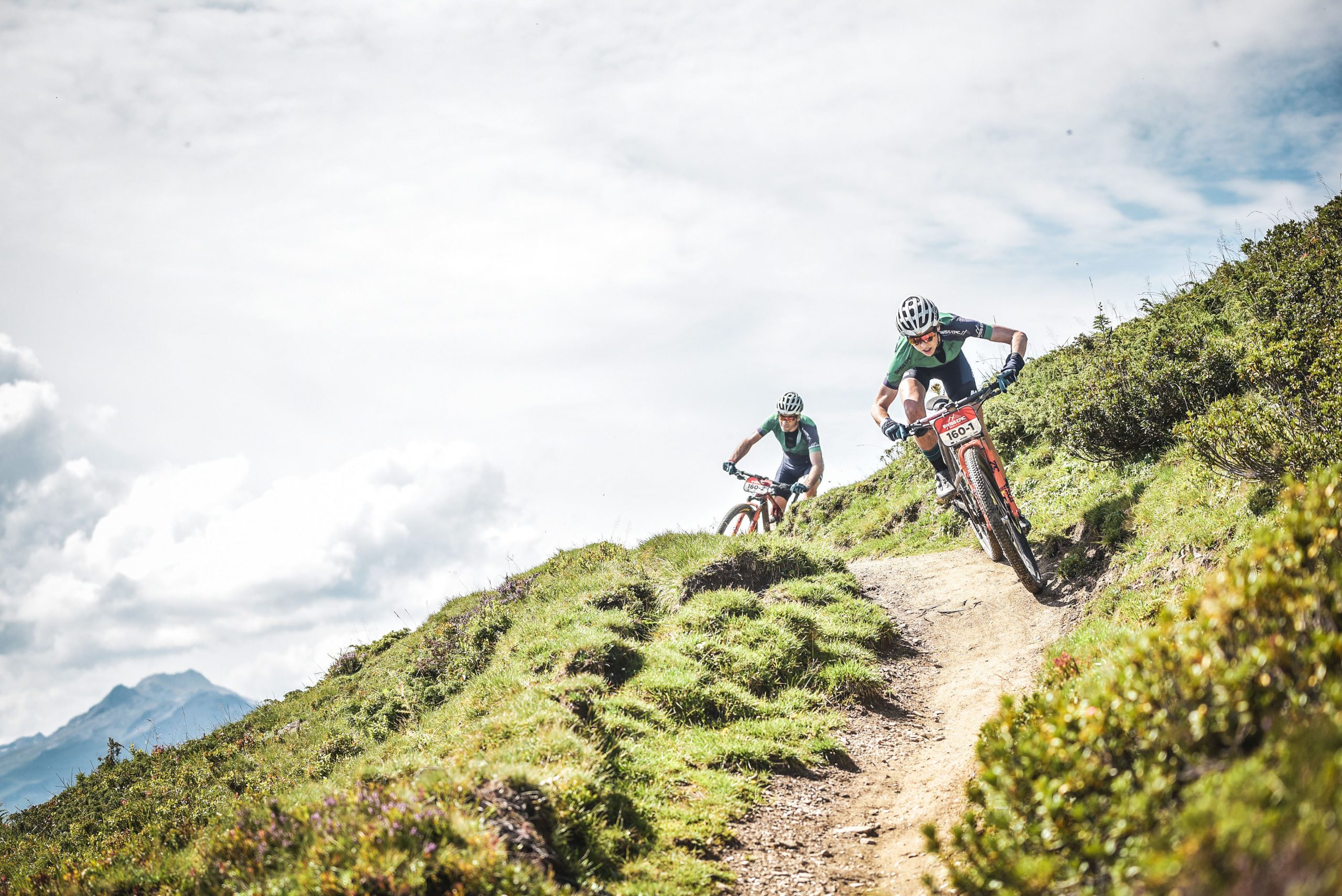
Over the past decade, one part of the European Alps has pulled me close more than any others. The Swiss Alps has covered racing challenges via the Swiss Epic, bike park fun at places like Verbier, and big alpine challenges in Zermatt. Backcountry rides abound in Graubuenden, and the whole place has incredible access to a vast, ancient network of trails, with exceptional public transport to help you get around. While the Swiss have all sorts of marked routes, one route always stood out, and has captured my imagination since I first saw it – National Route #1, or Alpine Bike route.
Via Alpina – the Alpine Bike route
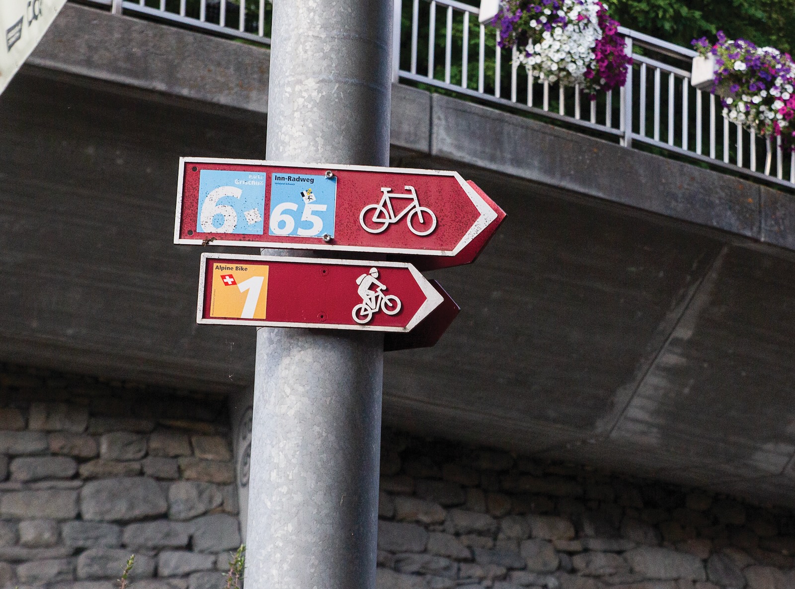
For anyone who has travelled through the alps, you'll be accustomed to seeing the familiar trail markings. From the red and white paint on rocks, fence posts, tree trunks or the sides of buildings, through to the signs with listed locations and expected times. It is a system that isn't complicated or convoluted, but just highly repeatable. In Switzerland, you also get the maroon signs. Sometimes they are for cyclepaths, sometimes even for rollerblading. Most of the ones I always saw were for mountain bikes, with a little motif of a bike with a rider with a backpack. They're positioned like they're going uphill but in my mind, it was always Hans Rey popping a mono.
The Alpine Bike route, or National #1 route, is one of many routes that are part of the Swiss Mobility scheme. There are routes for hiking, cycling, mountain biking, canoeing, rollerblading, plus all manner of winter sports. The idea? It keeps the population active and healthy. But it also provides an easy framework for tourists like me to set out on an easy to plan adventure.
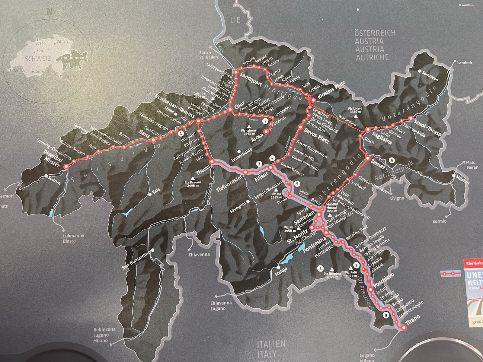
I first saw this route in 2007. The National #1 route runs from east to west across Switzerland between Scuol and Aigle. It covers about 670km and 24700m, broken into 16 suggested days. At the time I thought little of it, until I saw it again in 2008 during a stage race passing through Scuol, and then again just about every year, as I realised how many places the route traversed.
With about a week to fill in August this year and some friends in Leysin (near Aigle) that I was overdue seeing, I looked to tackle the route. I'm no stranger to riding point-to-point by bike, although I haven't done lots of bikepacking, just enough to know I prefer sleeping in a real bed. I quickly looked at the route on the Swiss Mobility website, judged how far I could go in a day and found the best value accommodation in each town via Booking.com. For about $150 night average I'd have my own room and breakfast sorted out. All I needed to do was pedal my bike and equipment to my next hotel.
Riding with clarity
I think everyone can agree that while you can aim to plan everything before a bike trip or holiday, the reality is most things happen at the last minute. That was me. I flew to Germany from the west coast of the US, then spent most of the next day on the train to Scuol. I picked up a few supplies (suncream and snacks) from the super market, built my bike and did a test pack of gear. Yes I left it until this point.
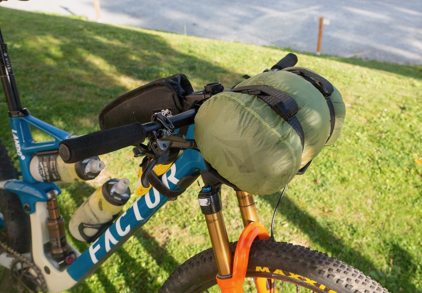
The next morning I sent my bike bag along with everything I didn't need (which was quite a lot!) off to Aigle station. You can send your luggage on to another station with the Swiss railway system, so for about $40 I had all my extra gear sent across the country and stored securely. I jammed my squishy spare clothing into a bar bag, the awkward shaped things into a Camelbak without a bladder, and spares went into a top tube bag. It was time to go.
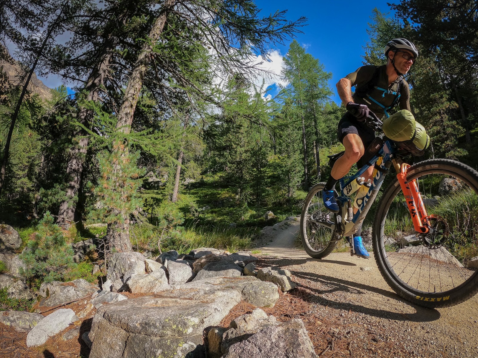
As I rolled down the narrow streets of the Swiss village and across the bridge over the En river, I reached for my phone to get a photo. Only now, at this point where I had divested myself of most of the things I didn't need was I ready to go. It was just me, my bike, a change of clothes, some charging cables and a pocket of snacks. I hadn't had the smoothest year to this point, and part of this trip was to find some clear air. And now, heading off into a valley I had climbed numerous times over the past 15 years I had an amazing sense of clarity. All I needed to do today was ride my bike to my hotel, eat when I needed to, and enjoy where I was.
Riding with purpose
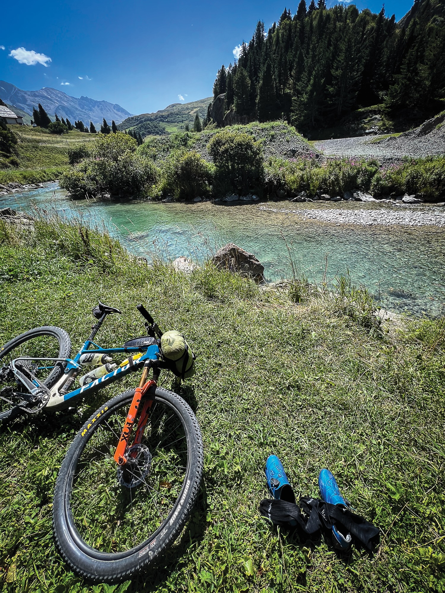
For years, I have always preferred to ride in one big loop – to go somewhere and come back again. I have always liked the committing nature it created. Be it a Somersby loop or Wiso’s loop when I lived in Sydney, or a Lane Cove or Kuringai super loop. Now in Queensland, a Laceys loop or all manner of options in Brisbane Forest Park make me a lot happier than repeated laps in a trail network. Don’t get me wrong, I love riding singletrack. But I’ve never really gelled with cutting laps. It feels like being trapped in a playground when we have a world to explore. So this trip was about going places and seeing things. I wasn’t trying to set any fastest known times. I wasn’t sleeping rough. I wasn’t doing anything silly like taking a gravel bike. I was riding my mountain bike from one hotel to another, stopping for food, river swims and photos.
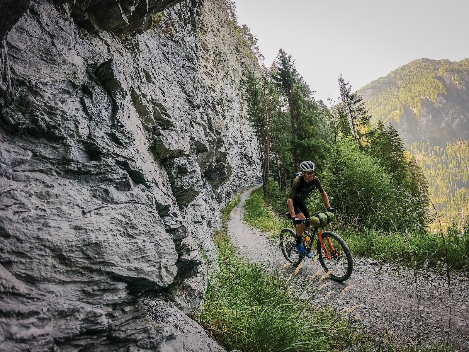
That said, I was doing it double-time, aiming to do the 16 suggested days in 8. So while I had the luxury of time every day, I also had a fair bit of distance to cover, and around an average of 3000m of climbing each day.
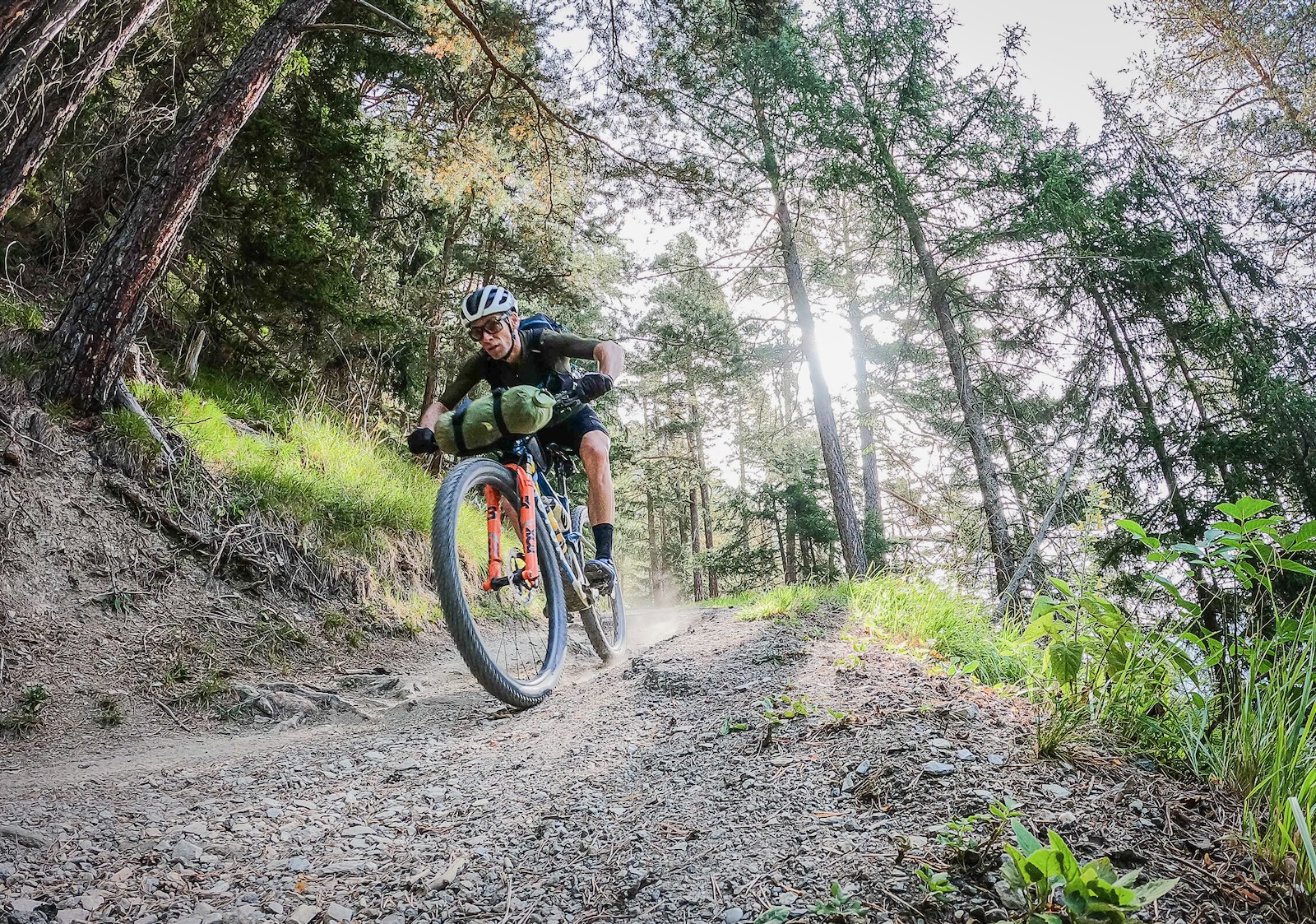
Ride to the horizon
In Australia, we live in one vast continent. And so it is often fairly perplexing that most of our mountain biking experiences are constrained to trail networks. This isn’t always true, with trails like the Bay Of Fires Trail in Tasmania extending from peak to coast, or the Mount Remarkable Epic Trail in Melrose, which does one big lap around a peak. Of course, there are long-distance rail trails as well. New Zealand has some longer pure mountain bike routes too. But this ride was different, as it takes you through nearly every aspect of each region you cross.
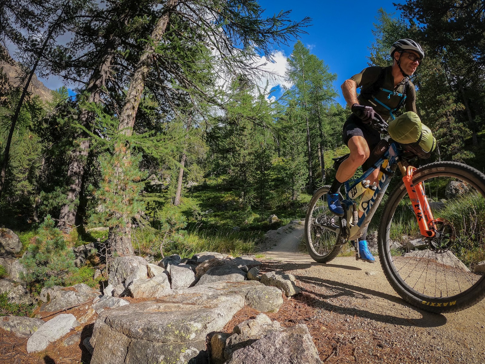
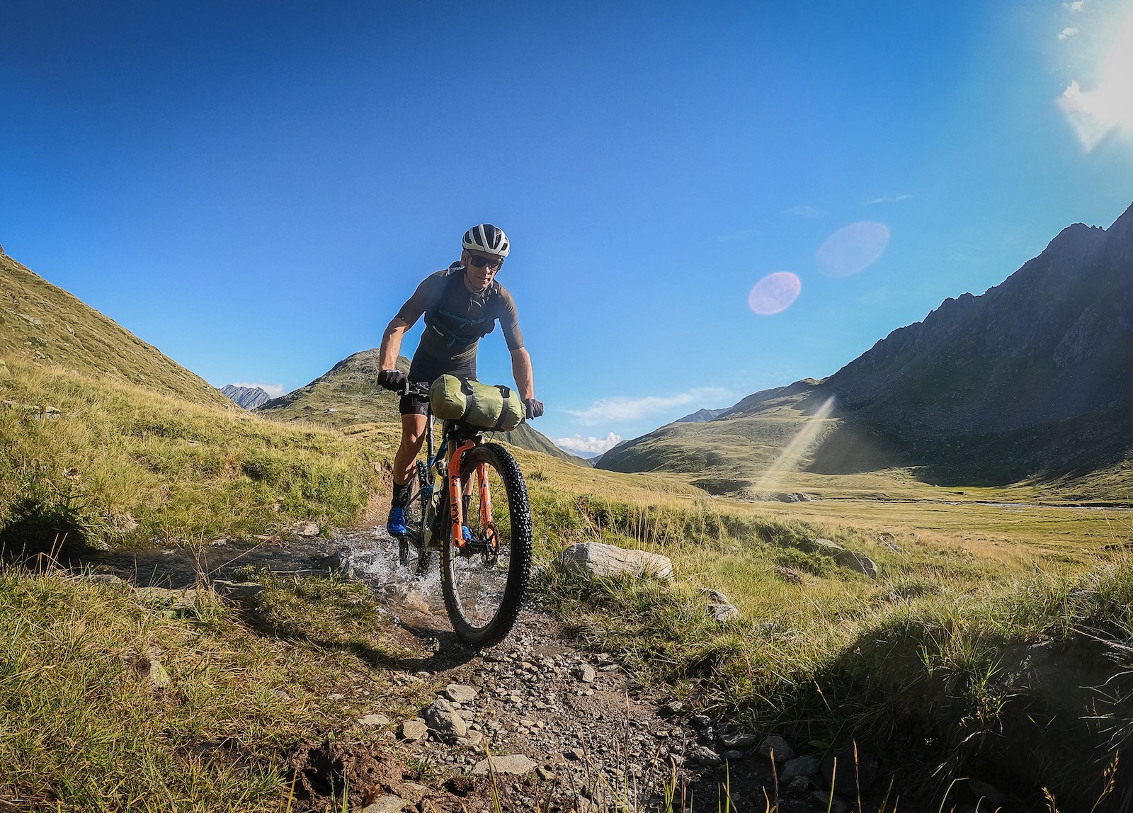
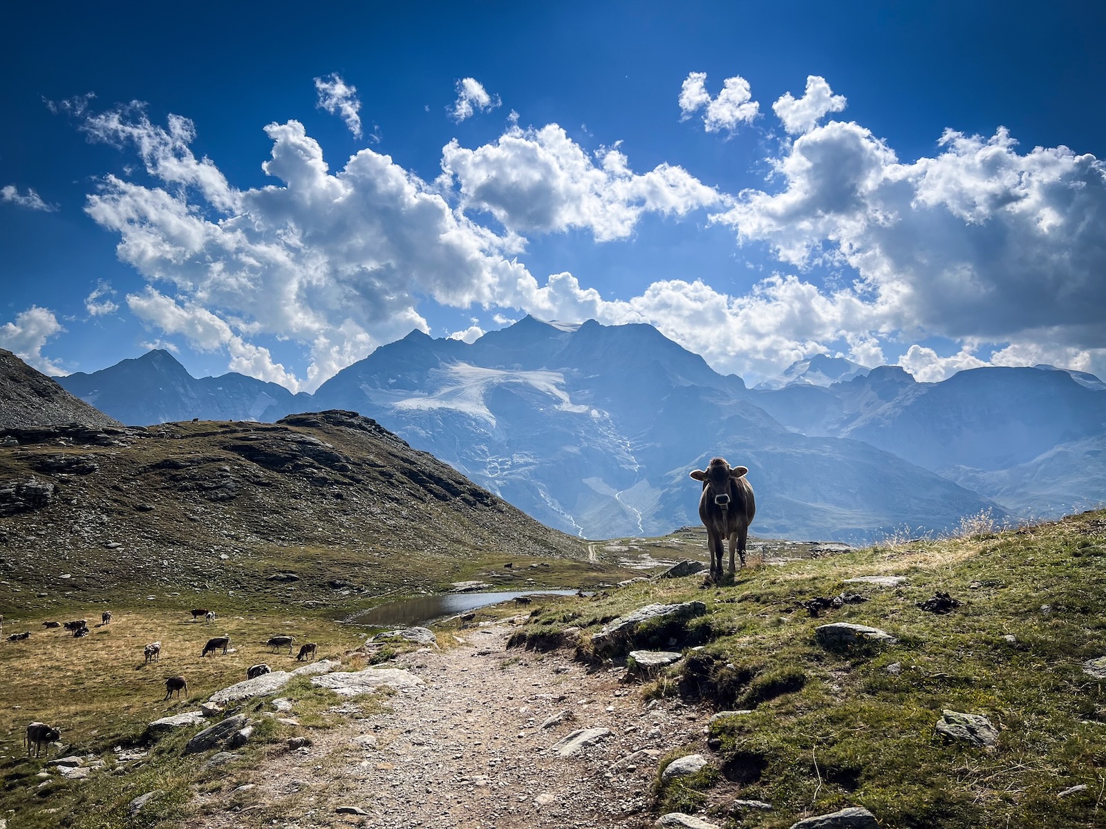
As I took off on my first day, my first 22kms or so was all climbing to the Pass da Costainas at around 2200m. I went over the En River, through the sports centre, and onto a road climb. This turned to dirt as it crossed recent avalanche damage and passed through the summer alpine village of S-charl, with eMTB charging stations and great looking coffee and cake menus. Farm tracks followed, past bubbling streams, content Swiss cows and below stands of high alpine forest and bare alpine peaks. Through the next farm I was onto singletrack cut into the low growth shrubs, before moving onto the final pinch onto the pass – and a steep descent down the other side.
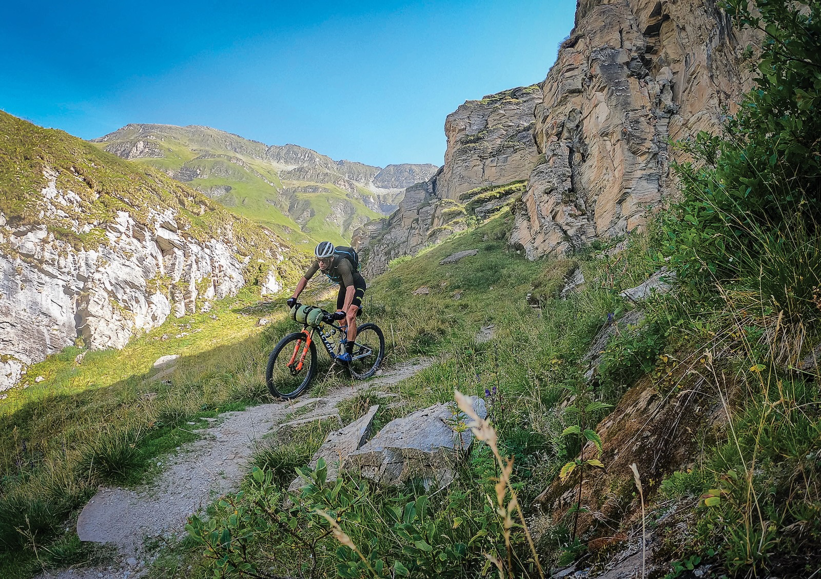
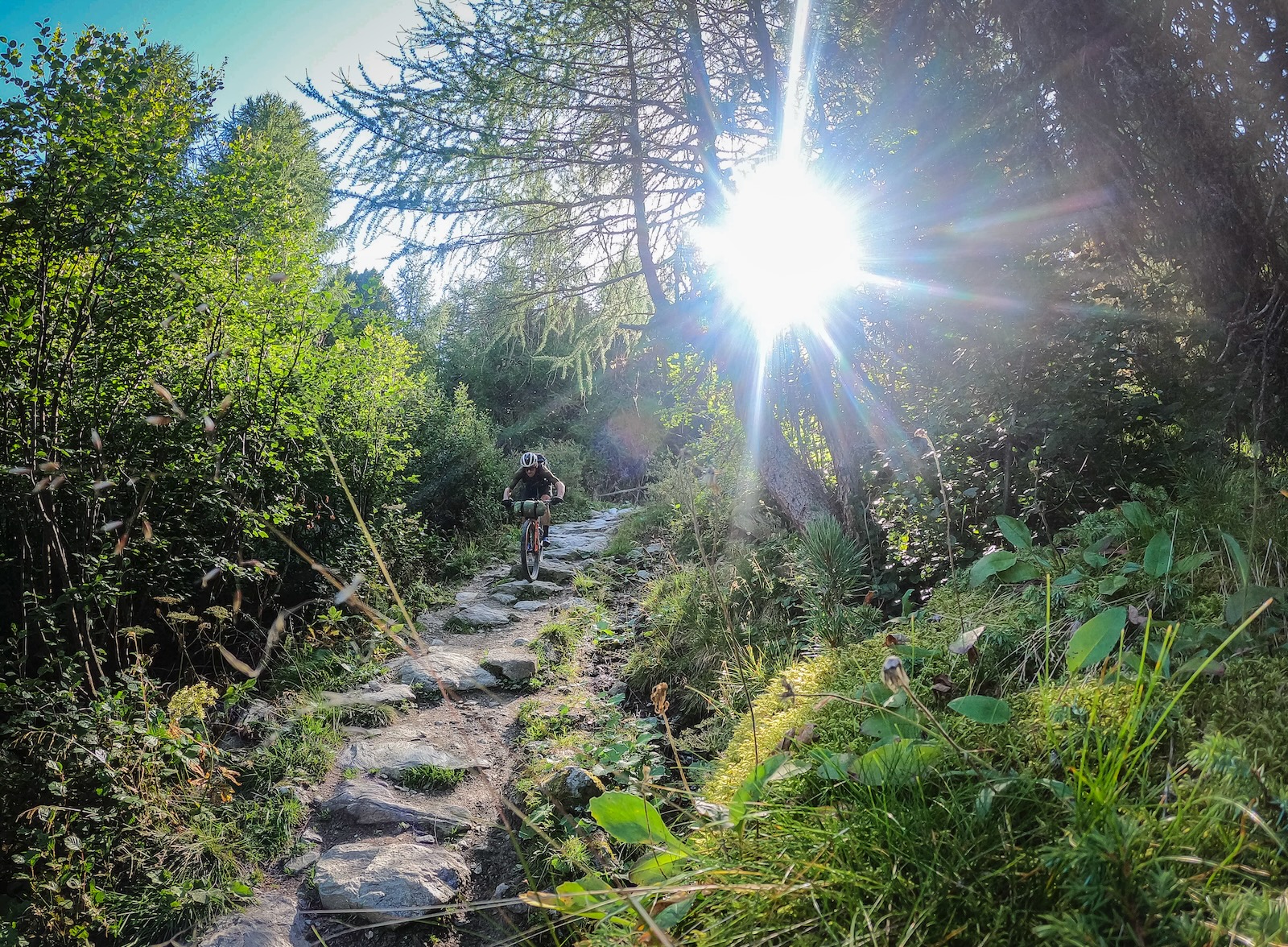
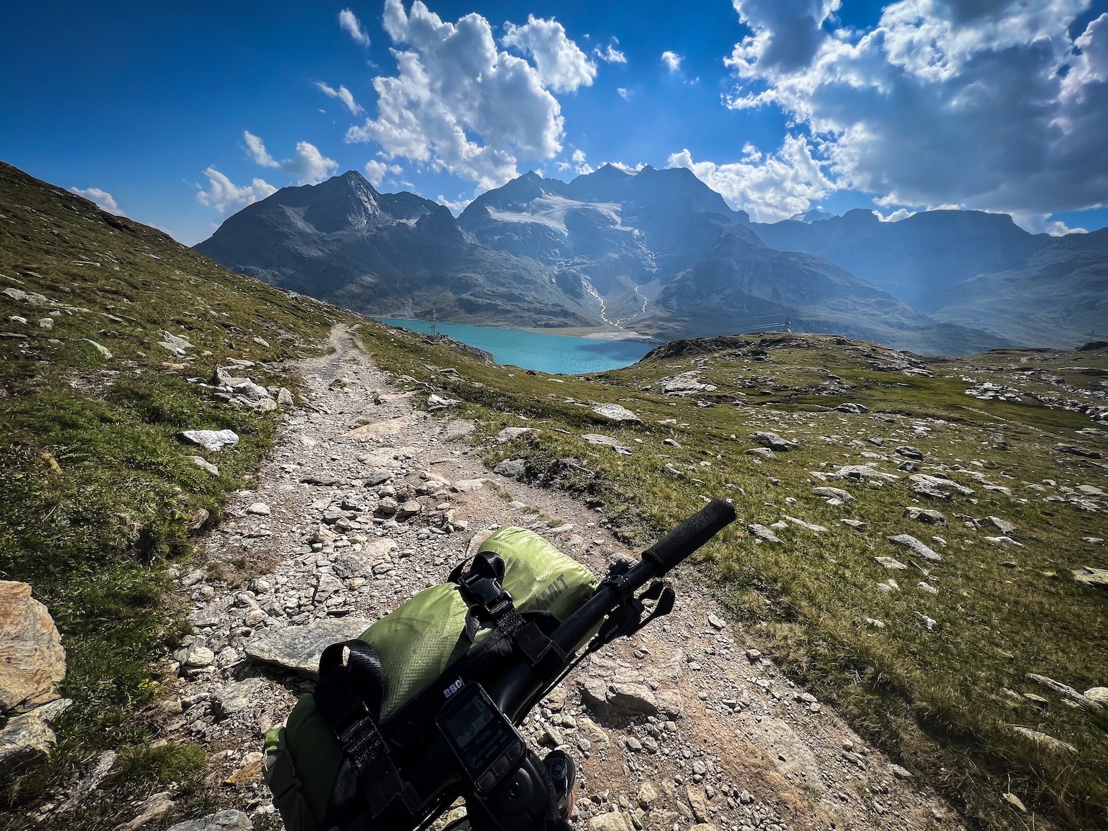
This was the nature of a lot of the route. In the valleys the route is often on specific bike infrastructure, but over the high passes it can get wild. At times I was able to ride on purpose-built trails, like the descent near the Morteratsch glacier below the Bernina Pass. Sometimes it was undulating buff singletrack beneath the larch, like when passing above Silvaplana on my second day. But that day also saw me on a long hike a bike climb up an old Roman road that had been forgotten for centuries – swearing at my race day Shimano shoes, and Romans themselves. Often, the route just took The Way over the pass. A route that had been travelled for centuries by foot and hoof – and now bikes as well. My first day took me through the Val Mora, and onto the route of salt and wine – a route used for trade since the Middle Ages. It just turns out that the section leading to the Lago di Cancano is some laugh out loud fun singletrack that changes it’s nature each season with the shifting avalanche fans it traverses.
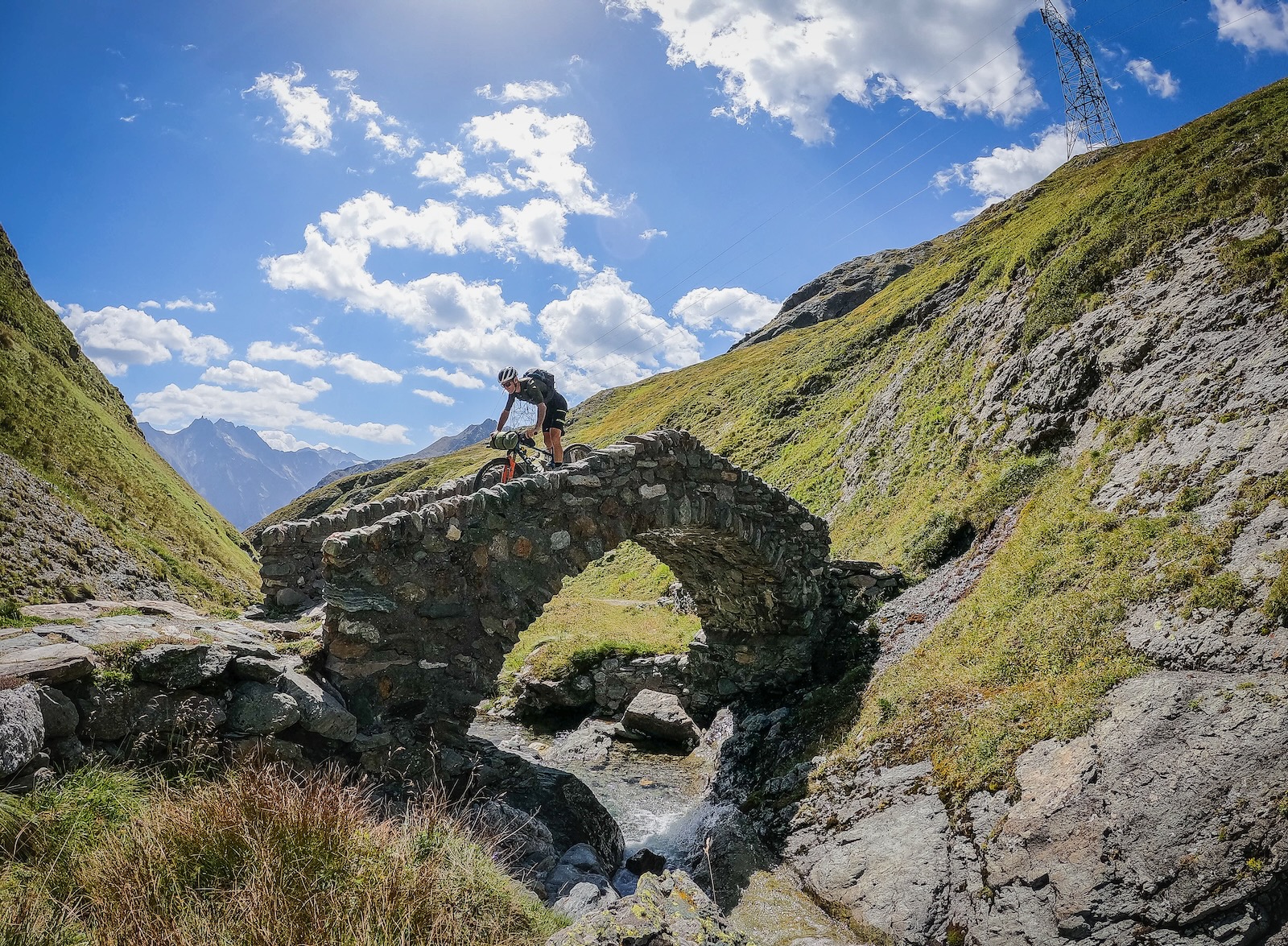
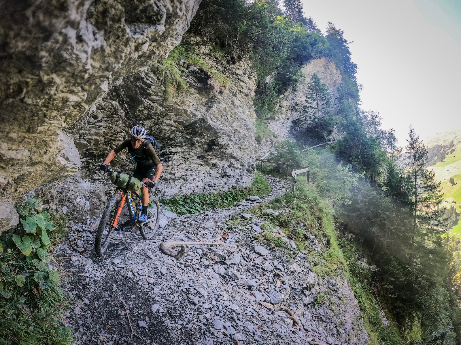
Riding mixed routes like this is part of the experience, of tackling what comes before you. It is a truly different way to ride compared to linking your lines together on your favourite trails. It’s more about reacting and adapting. At times I was on an old goat track paths carved into cliffs, with sheer drops to one side. I did a road climb that took an hour, which I could have caught a bus up, but the descent off the back was wildly steep, slicing into the forested hillside with a series of switchbacks to finish that were just about the definition of Euro steep. I also rode rugged alpine singletrack with views for days and no one around.
Being able to just ride, to keep moving forward, was part of what made this experience what it was. There was no wondering if I should have ridden something better, or gone faster. There was progress and seeing what was around the next corner, over the next pass and in the next valley.

Ride where you are
After two days on the route, I was tired. The first day was pretty much 2.5 suggested days according to the 16-day plan, and that took a toll. The Alps were unseasonably warm in August, with highs near 30 degrees in the high alpine valleys, and mid 30s in the villages. Glaciers were melting, rivers were churning, and hotel rooms with no AC or fans were pretty stifling. But autumn was coming.
Storm clouds were building from my third day, as I descended down a trail from a pass above the spa town of Vals. I was caught in some rain the following afternoon high above Sedrun, and when I rode out of Sedrun the following day I knew it would almost certainly be my last day on the route, with cold rain in the valleys and snow above 1800m forecast.
I modified my route that day on the final climb after coming through Andermatt, riding past the bridges which apparently the devil tried to destroy. This pass now has a motorway through it and is a main transport link across Europe. It has been for centuries, it’s just that it used to involve wooden boards chained to the cliffs. This is just The Way.
My path changed lower down the valley as I opted to tackle a long road climb and descent instead of the off-road route over the Sustenpass. It was drizzling, and by the top I was wet and in white out. The near 30km descent, despite covering up with more layers, was atrocious. It even killed my Wahoo and Stages power meter from high speed water ingress. I arrived at Innertkirchen to my little hotel, had a long hot shower, watched the Andorra World Cup and checked out the train timetable for tomorrow. There was more to ride, but it will always be there. I ended up catching the train to my friend’s house just in time for their Sunday raclette ritual with their neighbours. It was a good decision.
Choose your own adventure
You can go bikepacking anywhere. Our globe is littered with mountain ranges to traverse and valleys to ride. For me, this route was one that had piqued my interest for years. I know there are trails everywhere in Switzerland, but this route and the Swiss Mobility app really opened my eyes to it. There are also other routes in certain areas of Switzerland that are one day, or multiday routes. I could have amended my route on the first day to take a bus to S-charl, and then turn off partway down the first descent to climb the Offenpass and head to Cancano via Buffalora and the incredible singletrack descent from there. Those are just two options from the first third of day one. It’s your bike ride – make it suit you.
I didn’t complete the whole route, and I am ok with that. I had an epic experience out on my mountain bike. I met other riders, chatted to staff in tiny mountain cafes and restaurants, and likely overshared the experience on my own social media. It was at times very challenging, but overall supremely rewarding. So get out and ride. Get out of the park, and go somewhere. You won’t regret it.
Quick Facts on the National #1 MTB route
What bike?
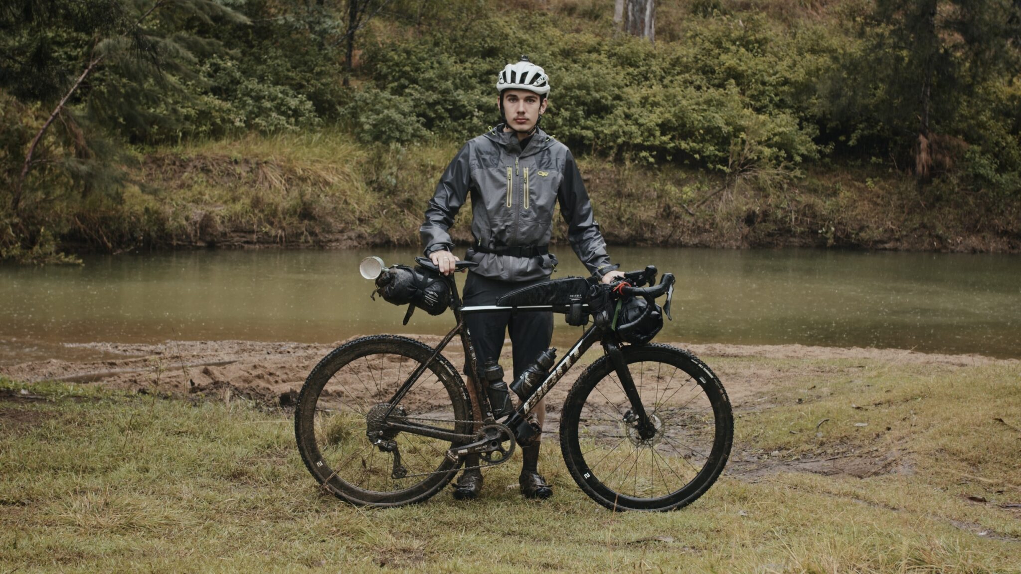
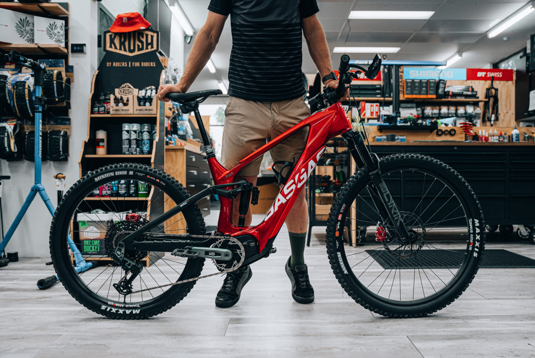
My modern XC bike was perfect for me. But you could ride an eMTB and carry your charger. Others were on trail bikes as well. There is a lot of gravel but you would end up walking all the best stuff and be over geared for a lot of climbs if you took a gravel bike.
Is it expensive?
It’s Switzerland, there is almost no limit to what you could spend. However, I spent about $230 per day on average across all meals, accommodation and drinks.
Do I have to do the whole thing?
No, look at the Swiss Mobility site for some inspiration. There are so many marked routes and endless more trails that you can ride. Plus you can take your bike on just about every piece of Swiss public transport – you can take out the boring stuff if you like.
What about special dietary needs?
Just about every supermarket has a section just for you for snacks and food. Most hotels can accommodate as well.
Do you need to carry much water?
I only ever carried one full bottle. There are foundatins everywhere to fill up. Depending on your pace and your hydration needs, it would be smart to be able to carry 2L when needed.
What was the best part?
Almost certainly the first few days in the canton of Graubuenden. They call themselves the Home of Trails – and that’s pretty accurate.
What I rode
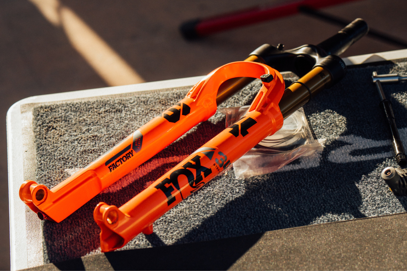
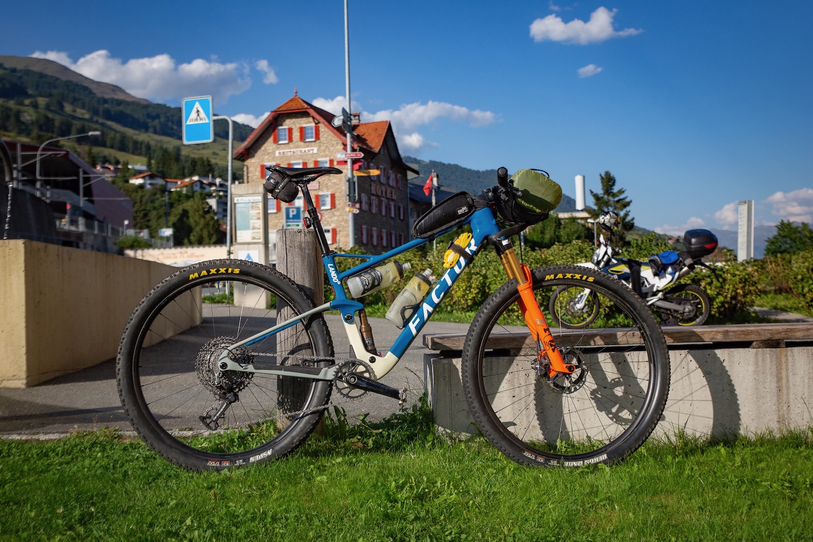
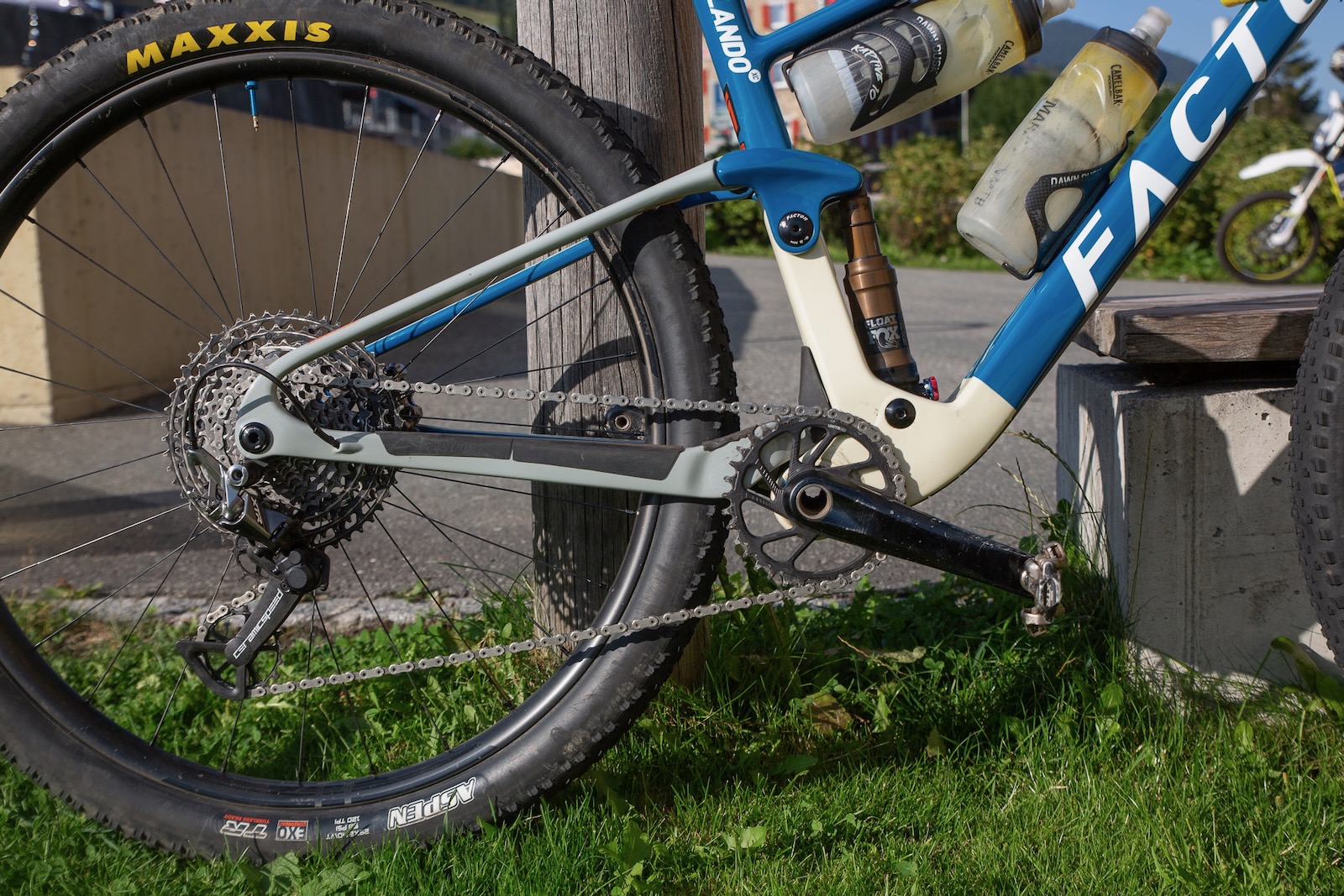
I rode my Factor Lando XC full-suspension 29er. I’ve done a custom build on this one with Fox Factory suspension, with a 120mm 34 SC and a custom built DPS shock for 115mm travel. Both have remote lock out. I use my trusty Shimano XTR group set from long term review in 2019 (yep, it’s still going), including brakes with a 180/160mm rotor mix and Shimano metal pads. Gearing was a 34t chainring with 10-51 cassette. For wheels, I used my custom built EIE carbon rims (30mm internal) laced to DT Swiss 350 hubs, with a Maxxis Rekon Race and Aspen combination in 2.4” – I also had a Tubolight EVO SL tyre liner in the back wheel. The bike weighed about 11.3kg with pedals and cages.
The Route
Scuol – Aigle, Switzerland
670km
24700m
16 days
The result
Scuol to Innertkirchen
430km
14500m
5 days
What I carried
I had a 9L Sea to Summit Ultrasil dry bag in a Bike Bag Dude sling on the bars. This carried a full spare set of Attaquer All Day bibshorts and jersey, plus arm and leg warmers, longsleeve thermal, short sleeve thermal, spare socks, jogging pants, shorts, a tee and a down jacket.
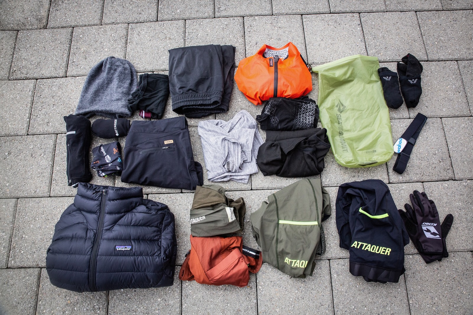
In a Camelbak Octane 10L bag, I had a pair of thongs, a buff, a sports towel, lots of charging bits, passport and wallet essentials, basic toiletries, a GoPro and minipod and anything that wasn’t going to be squishable in the bar bag.
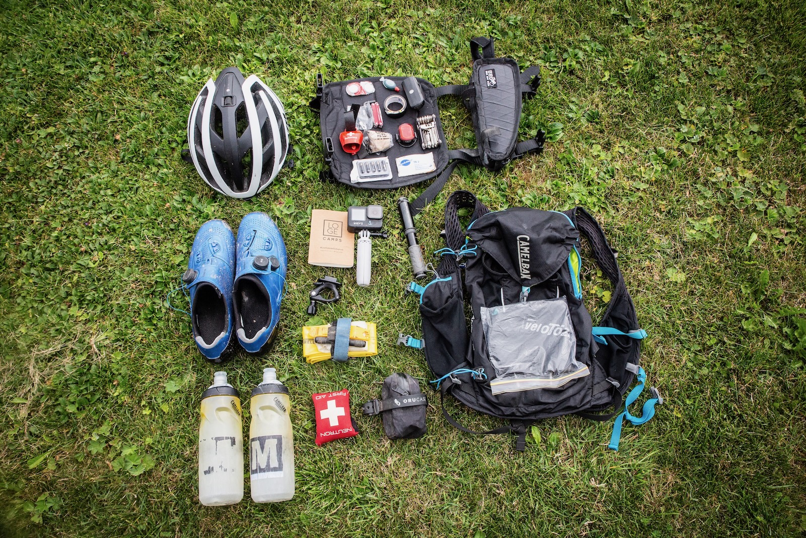
And in a Bike Bag Dude top tube bag I had bike spares like my minipump, multitool, some lights, fresh pads and chain lube. I had a couple of tubes and a plug kit on my bike – plus a little cow bell on the bars. I used my phone and the Swiss Mobility app for navigation, my Wahoo ELEMNT was just for ride tracking.
