From Peak to Sea in Tasmania
Take a trip along the famed Bay of Fires Trail on Tasmania's East Coast!
Words: Colin Levitch Photos: Nick Waygood and Colin Levitch
From October 26 2020, Tasmania opened up their borders to select Australian states and New Zealand. Keep up to date with who can visit, and what the procedures are via this link.
We had been in Derby for days, but all anyone was talking about was the Bay of Fires Trail, a new point-to-point wilderness trail from the top of Blue Tier that deposits you on the squeaky white sand and lichen-covered granite of Swimcart Beach.
"The Bay of Fires Trail is something Australia, and the world has never seen," said Glen Jacobs, the Founder of World Trail as we chatted outside the Derby General Store one afternoon.
World Trail had just completed this major build, and the official opening of the Bay of Fires Trail was in a few days. Hearing all the hype Nick Waygood and I snagged the last couple of spots on shuttles heading up the mountain to be among the first to ride the trail to find out what all the hubbub was about.
Point-to-point trails are a relatively new obsession for me. So much of the riding we do is in loops; whether it be squeezing in an hour after work starting and finishing from your front door, your weekend singletrack epic that loops back to the trailhead or maybe an overnighter with your buddies. But the idea of starting in one place, and finding your way through the sidecountry to your destination a few hours later has a certain mystique to it — even if you're being guided by a manicured ribbon of dirt, it appeals to anyone's sense of adventure.
With my Rocky Mountain upbringing, I've ridden small sections of the Colorado Trail and pedalled over mountain passes up fire roads on bikes loaded with camping gear. But, this love of isolated purpose-built singletrack didn't really click until I rolled past the 'Enjoy' sign last year at Mt Buller near the end of the Australian Alpine Epic Trail, embarking on the best (up to that point) 12km descent I'd rolled down on knobby tyres.
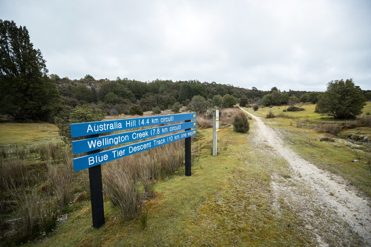
The Bay of Fires Trail in Tasmania's north-east therefore had all the magic ingredients. As a point-to-point wilderness trail it starts high in the Blue Tier forest reserve and descends 42km onto the bright white sand of Swimcart beach. When I say wilderness trail, I mean wilderness — this is a backcountry experience. There is nowhere to fill up your water bottle, or buy a sandwich along the way; if the weather turns while you're out there, you'd better be prepared because between the trail crossings at Terry Hills Road and Andersons Bay Road, help is a long way off.
Accessing the Bay of Fires Trail
The drive up to Blue Tier takes about an hour whether you’re leaving from Derby or St Helens and it takes you along a windy dirt road, climbing fast. The fauna is lush and green, and the world passing by outside the window offers an accelerated preview of what’s to come.
With all of the shuttles from Derby booked out, Nick and I left our accommodation in Branxholm bright and early drive to St Helens and jump on one of Gravity Isle’s party shuttles, complete with multi-colour strobe lights to the Blue Tier — Daft Punk and disco ball not included.
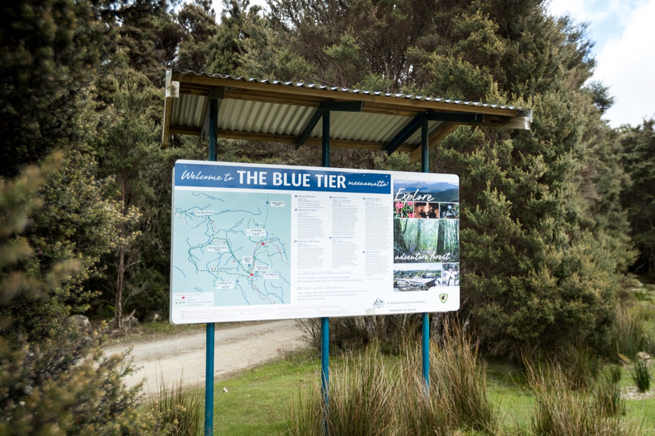
You’ve probably heard of the Blue Tier; it makes up the ‘blue’ part of Blue Derby, and is well established with trails like Big Chook, its own wilderness trail and the ride through Weldborough which guides you back to the small mining town. The new Bay of Fires Trail descends the opposite side of the mountain directing you towards the coast.
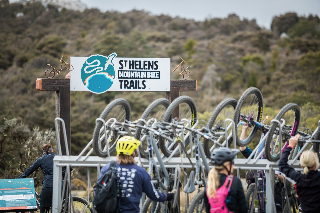
The trailhead was electric, as at least a dozen shuttle loads of riders climbed off buses and unloaded their bikes and rode under the archway towards the coast beginning their journey to the Bay of Fires.
On the trail
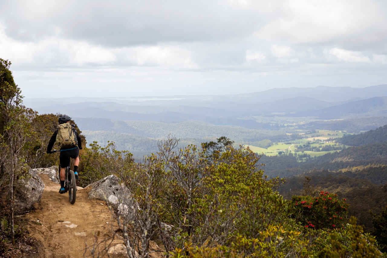
The trail dives quickly into a myrtle canopy, before pointing you towards a rocky outcrop and a clearing in the canopy. As you round the corner you’re greeted by a sprawling vista of what lies ahead — it’s one of those breathtaking spots that gives you butterflies. Our day began overcast and hazy, with the weather threatening to test the mettle of or rain gear as we pedalled up the initial climb. Even with the haze hanging in the air, you could just make out the electric blue water just off the coast.
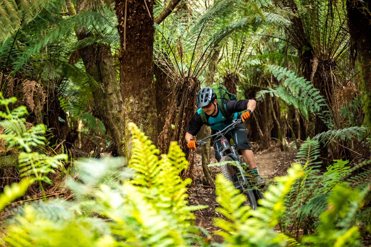
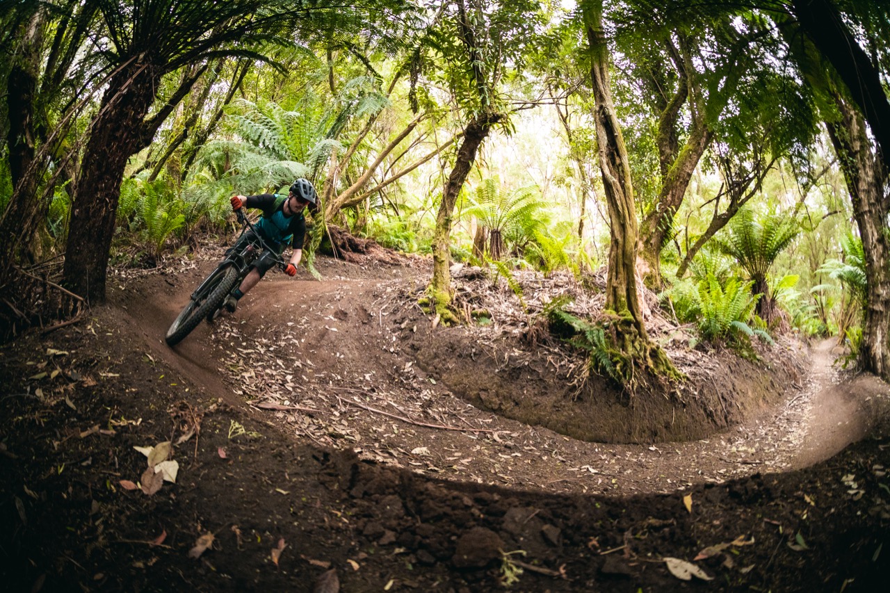
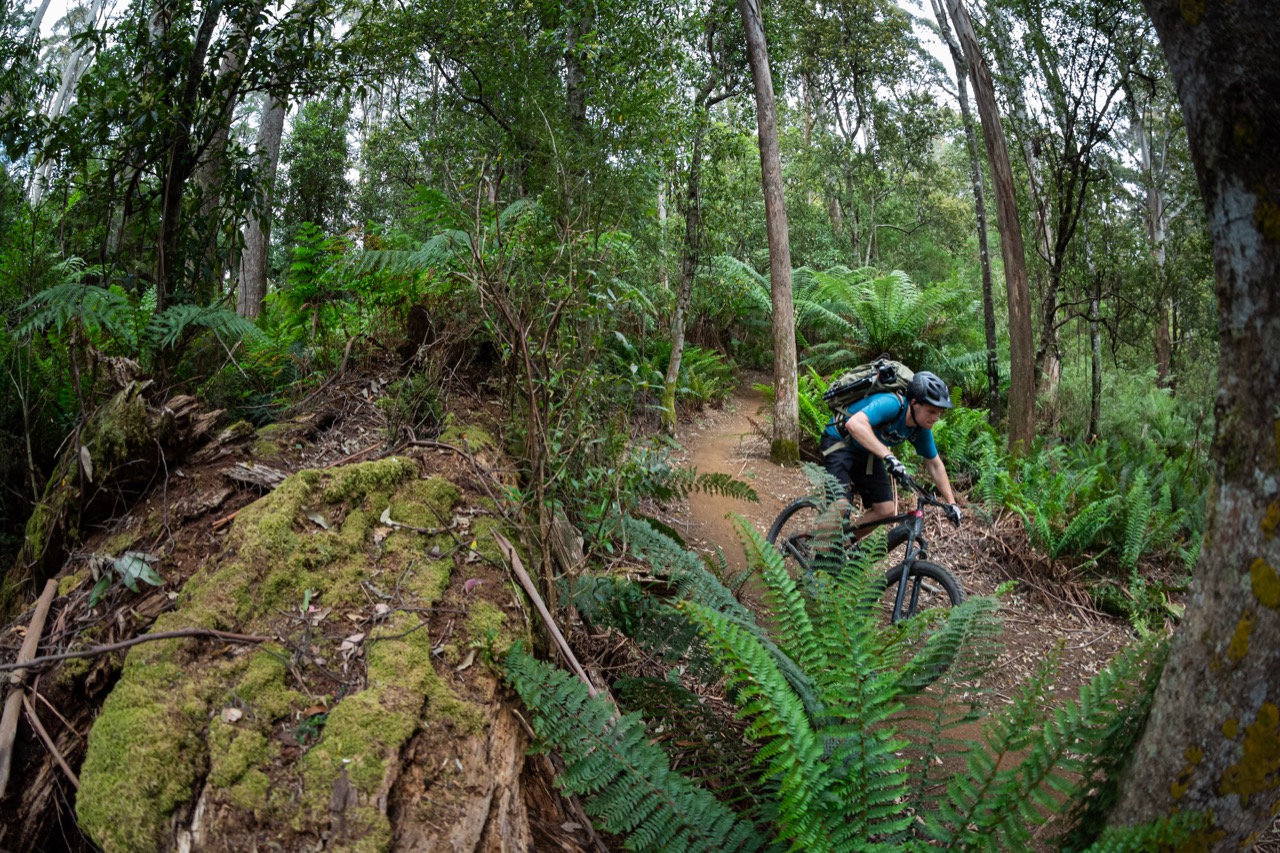
As the trail dives back into the trees, the fun begins. The first kilometre climbs 40m in elevation from the trailhead to 786m above sea level, and then points down toward the ocean racing down 14km of flowy and fast singletrack. Nick and I were well off the back of the groups ahead of us, but hoots and hollers permeated the trees. Being one of the first 100 or so sets of tyres to roll the descent, the trail surface was still loamy and soft, providing for oodles of grip in some areas and spicy two wheel drifting in others. As more people ride the trail and it beds-in, the singletrack will become hero dirt — the kind that tacky soil sticks to your tyres and provides the kind of grip those in dry and dusty climates can only dream about.
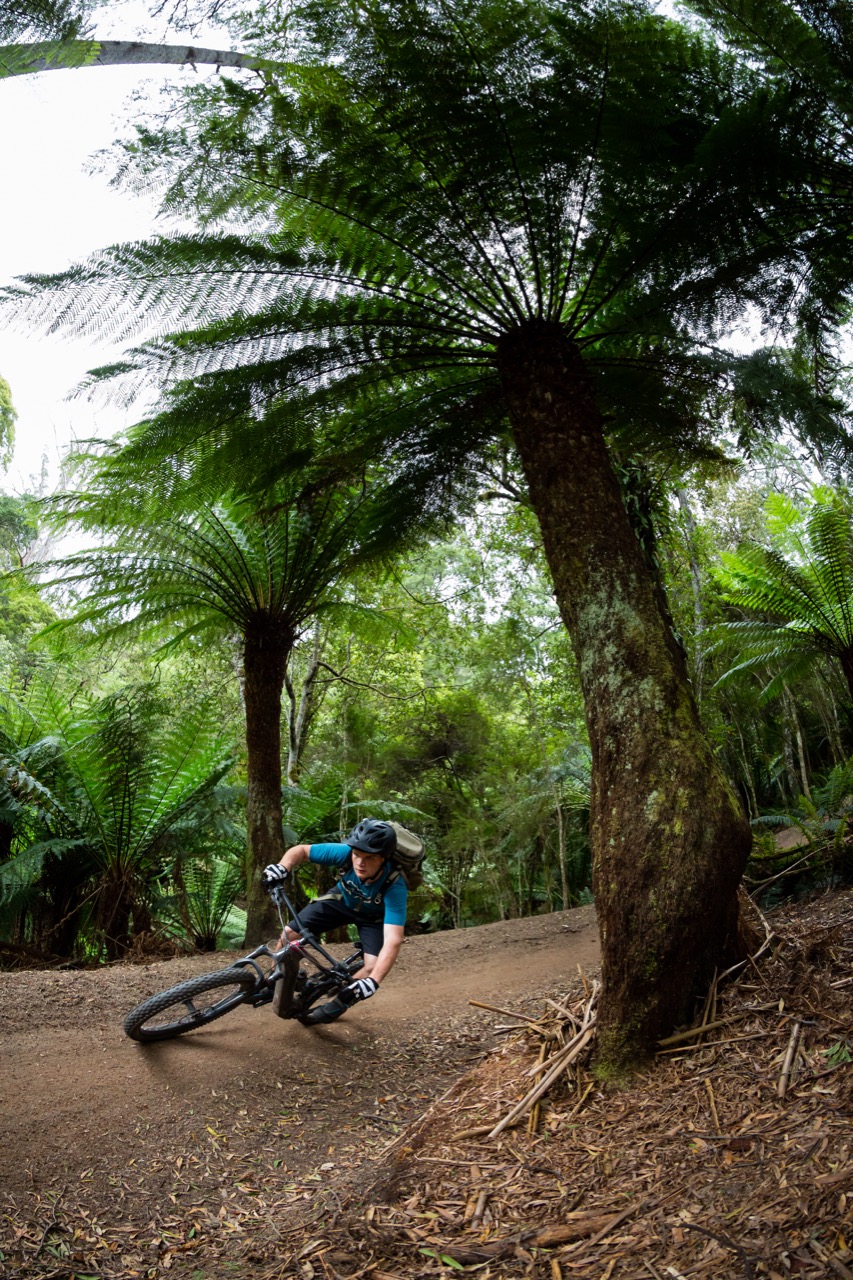
Twisting and turning down the mountain, as the metres descended racked up, the forest becomes lush, green and mossy. The myrtle and ash trees are gradually replaced by ferns big and small and the descent is one riders at every ability can enjoy; the faster you go the harder it gets, with a plethora of little lips and rocks to pop off. There are a few gap jumps and drops, but everything has B-lines — that said there were a couple of drops that caught both Nick and I off guard. Stay woke and scan the trail ahead to pick your lines.
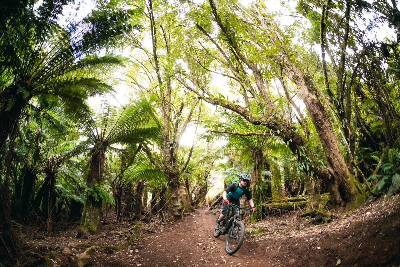
After covering 14km, with hardly a pedal stroke it’s damn near impossible not to have a smile on your face. The undulating terrain of the 9km fire road liaison ahead was a welcome change of pace because my hands were tired from braking on the descent, and spinning out my legs was much needed after the lengthy downhill.
“How good are eBikes,” Nick calls out as we cruised up the fire road at 25kph. Both of us were aboard Trek Powerfly LT eMTBs, and we’d both shifted into turbo mode; taking full advantage of the Bosch motors at our cranks, and reeling in at least a dozen riders along the way.
It might seem odd to have a section of forestry road situated below what will surely become an iconic descent, but as the World Trail founder Glen Jacobs and Ben Pettman, Break O’Day Council’s Trail Project Manager explained, they ran into land access red tape during the build. Rather than tie up a bunch of resources and delay the completion of the trail, the decision was made to work around this roadblock and incorporate the existing fire road while the land access dispute was litigated. Jacobs tells us they are working on this and will be replacing this entire section with purpose-built singletrack.
As you cross Ansons Bay Road and enter the Doctors Peak Forest reserve, the halfway point is punctuated by a bike hygiene station to prevent the spread of Phytophthora cinnamomi, commonly known as root rot, from spreading from the dense rainforest down into the Tasmanian dry sclerophyll forest below.
Mountain bikers often get a bad rap when it comes to environmental impact and quite often the argument against riders and new trails comes down to the stress singletrack and riders can put onto flora and fauna. It doesn’t take much time with experienced trail builders to realize these concerns are almost entirely alarmist, and the health of the domains are well-considered. Infrastructure like the bike hygiene station explicitly shows the wider community that trail networks aren’t the result of a bunch of yahoos with shovels and hoes ripping up the undergrowth, but instead shines a light on how much consideration actually goes into these projects.
Cruising to the coast
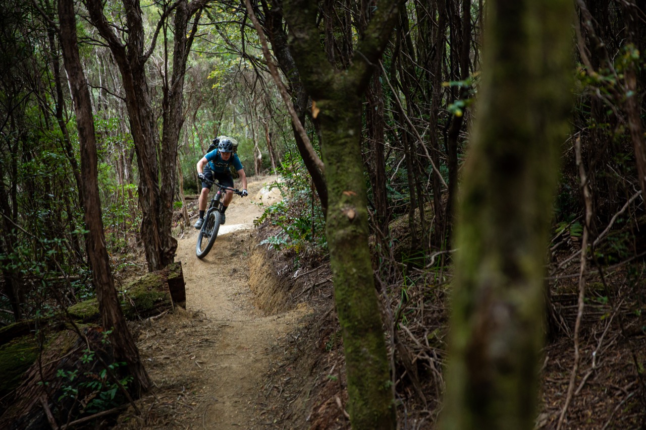
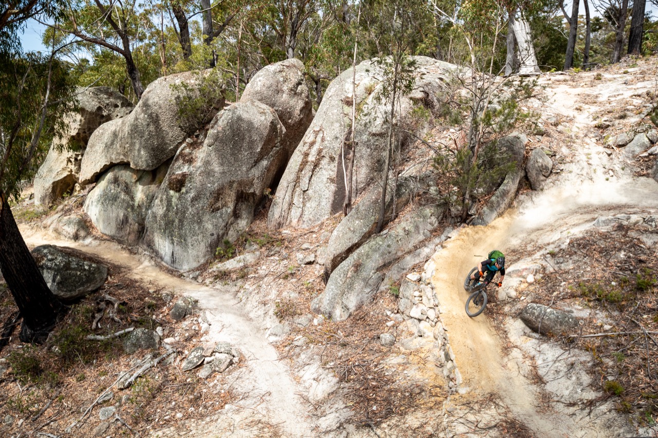
At the halfway point, the character of the trail changes, not only in the surrounding forest but also the trail itself. The soil has graduated from the deep brown hero dirt to light grey, and giant man ferns have been replaced by imposing granite boulders that dwarf riders by comparison.
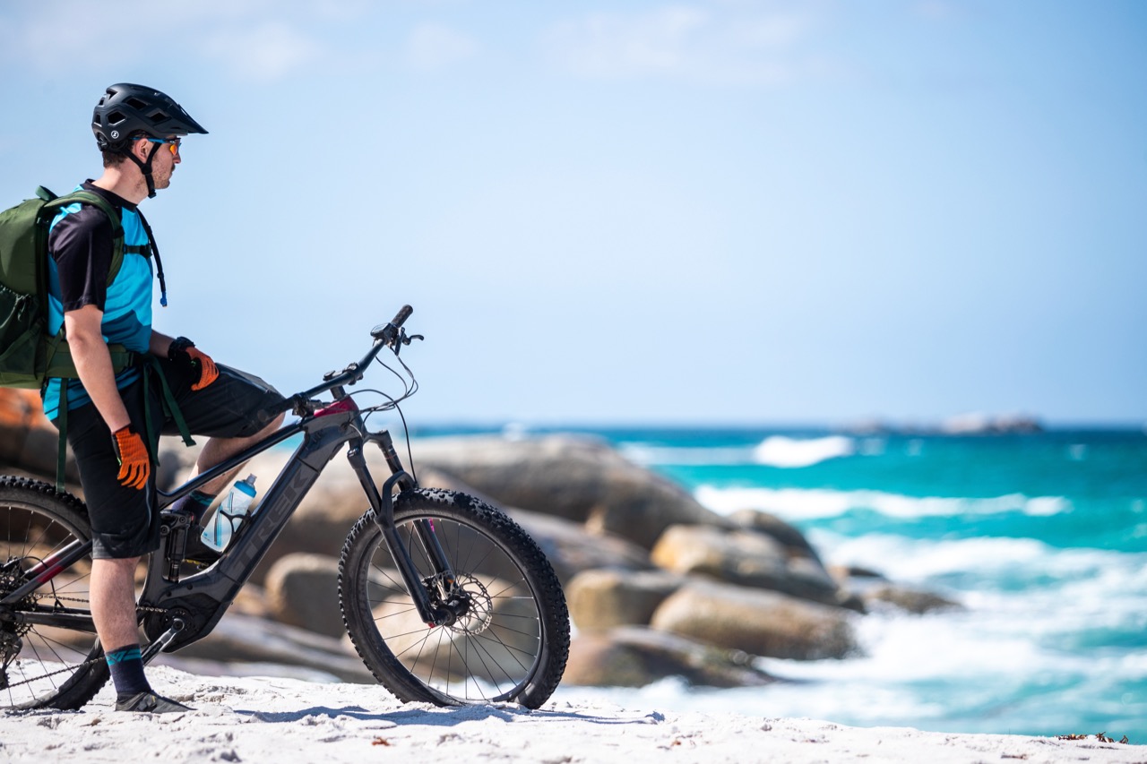
The gradient has moved back into the realm above zero; but it’s only in the single digits gaining a little over 200m of elevation over the 10km, it’s more of a false flat than a climb — still, I’m happy to be on an eMTB. With the increasing rockiness of the landscape the trail does get slightly more technical with a few small rock gardens and rollovers — don’t worry, there are B-lines around everything so that 30km into your ride, there aren’t any trail features that require major amounts of brainpower.
“I see the sea,” I yelled up to Nick as we worked our way up the final pinch. The trail contours up a ridgeline and skirts around the edge of Mount Person; as you come over the crest of the range, the electric blue water of Binalong Bay peeks through the trees.
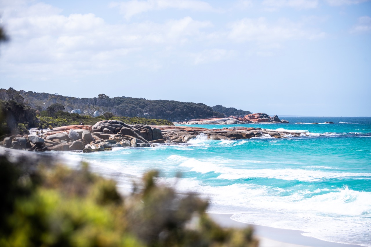
The thing I love about these long-distance point-to-point backcountry trails is the final descent clouds your memory of any suffering you’ve endured to get there. Yes, we were riding eMTBs, and those who rode the trail unassisted burned considerably more calories to push themselves to that final descent, but that doesn’t mean that Nick and I didn’t work through our own hardships along the way.
Below the sparse canopy of eucalyptus trees, the trail opens up carving wide arcs down the hillside, the speed increases and there’s ample opportunity to put air under your tyres. The further you descend, the sandier the trail becomes, and the smell of the sea breeze works its way to the front of your consciousness.
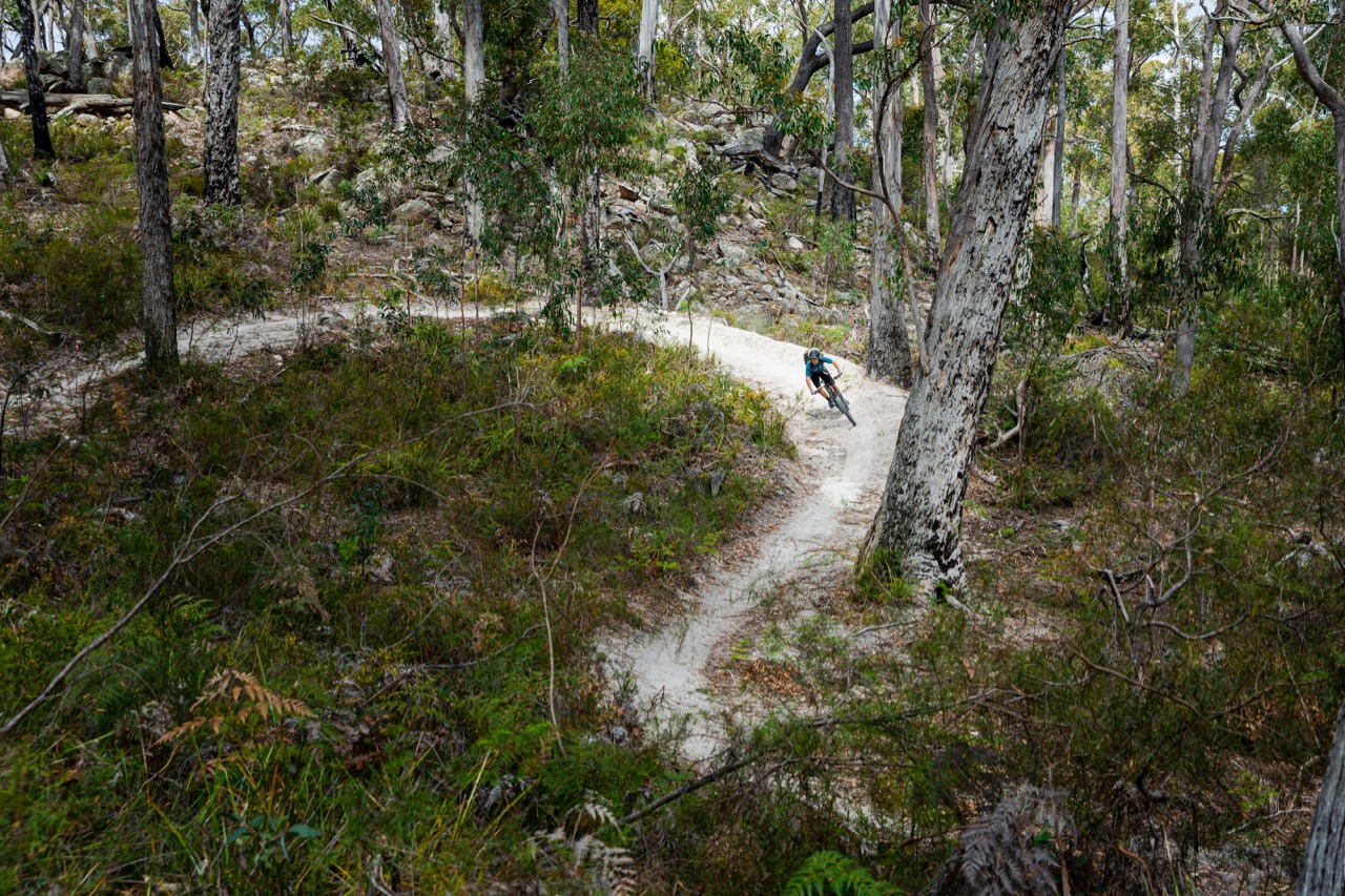
The final trail marker confirms that you’re only 1000m from the beach, and the singletrack provides a fleeting glimpse of Swimcart lagoon and a preview of your final destination. The singletrack ends abruptly on the side of a gravel road; keep following the sound of the waves to find the reward for your effort — the pristine white sands of Swimcart beach. The crystal clear water looks inviting, but it is anything but warm — after four and a half hours a refreshing dip is probably the best way to cap off what is a truly epic adventure.
Shuttling the trail
Accessing the Bay of Fires Trail requires a shuttle ride up to the Blue Tier. If you’re based in Derby, Vertigo MTB, Premium MTB Transfers or Mad MTB will drive you to the top, and collect you from Swimcart beach. From St Helens, Gravity Isle’s depot is a stone’s throw from the center of town; they also look after the Artnor Lodge which backs onto the shuttle pickup — you can literally roll out of bed and onto the shuttle. Mad MTB also offers pickup and drop off in St Helens.
When to go
We rode the Bay of Fires trail in mid-November. The weather on top of the Blue Tier warranted a light jacket as we were waiting to set off, but those were quickly packed away once we got going. November to March sees average temperatures hovering around 20C, during the winter you’ll need warm clothes to combat the low teens and single digit temperatures.
According to the Bureau of Meteorology, precipitation is pretty regularly through winter with a peak in August. Keep in mind, we are talking about Tasmania, so don’t leave home without a rain jacket.
Don’t miss
If you’re going to make your way to Tasmania, you’d be silly not to stop into Derby for a few days — if you fly in to Launceston, you’ll have to drive through Derby to get to St Helens. It’s worth checking out the new St Helens trails while you’re in town.
There are trails for the whole family, with the difficulty increasing as you venture further from the trailhead. From the trailhead at Flagstaff, make sure to catch a shuttle up to Loila Tier to check out the top of the network.
Flagstaff is only 3.8km from town and it’s an easy ride up the Town Connect Trail to the network, so you can leave your car parked at your accommodation.
Where to grab a beer
While you’re in St Helens make sure to grab a beer at The Social. It’s a food truck meets beer garden, that’s well stocked with local craft brews and mouthwatering street food — the perfect way to replenish calories sacrificed to the Bay of Fires Trail.
Don’t forget
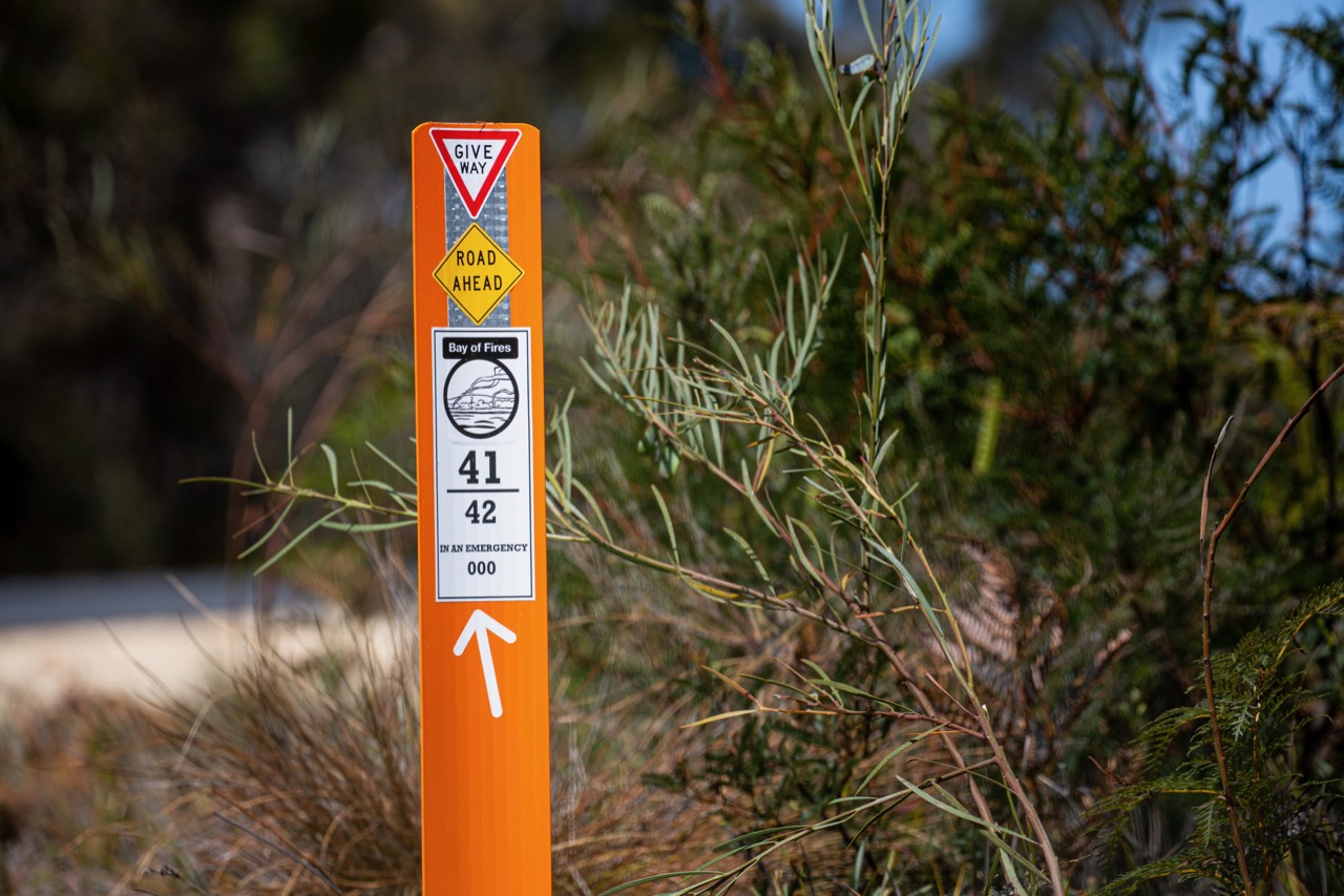
This is a wilderness trail. If you run out of water or food, or have a mechanical along the way you are a long way from any help. Don’t be that guy who makes the news for being unprepared, bring a backpack, a hydration bladder, lots of snacks and any spares and tools you might need. There is a bright orange trail marker every kilometre, so if you do need to call for help, you can communicate your approximate location. That said, unless you have Telstra or Optus service is spotty.
Protip: If you’re on the Optus mobile network, as you drive into St Helens your phone will not pick up service. Give it a restart and viola, you’re connected. We don’t know why it works, but it does.


