Mountain Biking in Alice Springs
Located in the middle of Australia, Alice Springs is a small outback town surrounded by red desert on all sides, a solid day’s drive from neighbouring cities Adelaide and Darwin.
Located in the middle of Australia, Alice Springs is a small outback town surrounded by red desert on all sides, a solid day’s drive from neighbouring cities Adelaide and Darwin.
Though Alice is known for soaring temperatures, endless plains of red sand and ‘that race with the unpronounceable name,’ that’s not the whole story. Plan a roadtrip or hop on a plane and discover the real lay of the land: closer to Alice, the dunes give way to the rocky MacDonnell Range mountain range. The summers are hot, but winter pairs cold temperatures with clear blue skies – perfect weather for riding.
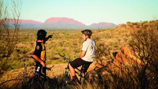
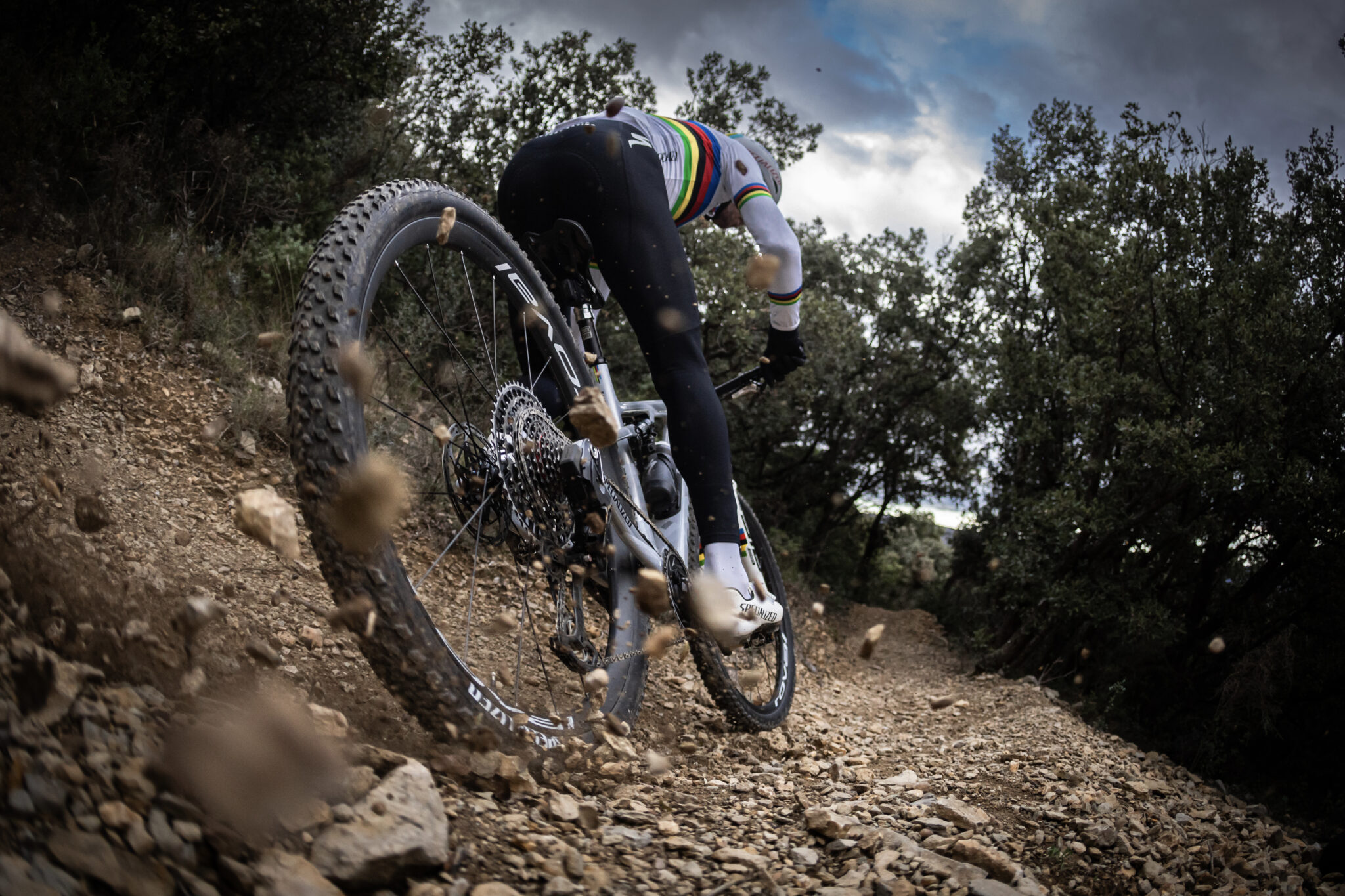
Alice’s singletrack takes you over rocky outcrops of rust-coloured sandstone and cream-coloured quartz and quartzite, as well as across that iconic red dirt and a coarse orange grit. ‘The terrain is different but once you get it, it’s fast,’ said elite racer Michael Crosbie after his first day on these tracks.
There are cross-country tracks right on the edges of town, and some downhill tracks too. Contact the locals or riding buddies to explore this extensive trail network with through the Central Australian Rough Riders (CARR) mountainbike club. The scene is super-welcoming, with regular club events and social rides and a thriving kids’ section (CARR’s Dusty Demons). Or try the West MacDonnell MTB Track, which is well signposted, with trail information available online. Known as the ‘West Macs Track,’ this new 15km cross-country track is the result of collaboration between Ronn Slusser and other CARR riders and Northern Territory Parks and Wildlife.
Toilets No
Water None on the trails
Sign-posted Trails Some signage; the West Macs MTB Track is fully sign-posted
Bike Shops Penny Farthing Avanti Plus (1 Hearne Pl, off northern Stuart Hwy). Smith St Velo (2/61 Smith St). Ultimate Ride (2/30 northern Stuart Hwy)
Food/Drink The Red Dog Café and Monte’s Lounge (beer garden)
BBQ At the Telegraph Station, 4km north of town on the northern Stuart Hwy
Mobile Reception Telstra/Optus – Good, Vodafone – Poor
Shelter No
Accommodation Yes
BBQ Yes, at the Telegraph Station
Swimming Pool Yes
Trail Guides West MacDonnell MTB Track trail info tiny.cc/WestMacsTrack-info and route map/goo.gl/maps/kfpOg.
Local Contacts Central Australian Rough Riders (tiny.cc/CARR and ‘Alice Springs Mountain Bike Trails’ on Facebook). The local gravity crew – the Shifty Filth Camels – are always out and about with a rake or a late arvo ride. (‘ShiftyFilthCamel’ on Facebook)
Getting There
It takes one to two days to drive to Alice from Adelaide, and one day from Darwin. There are daily Qantas flights between here and all major cities, and Virgin flights from Adelaide and Darwin.
Technical Nature
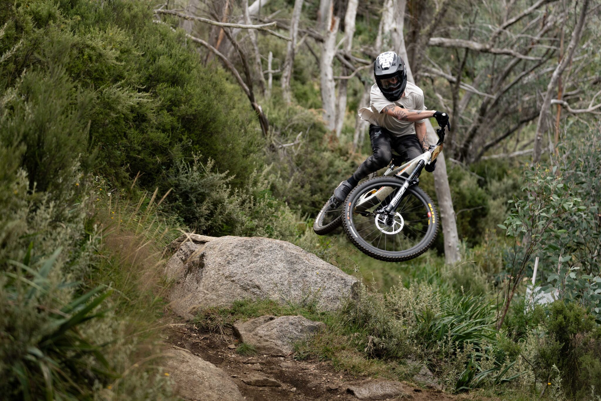
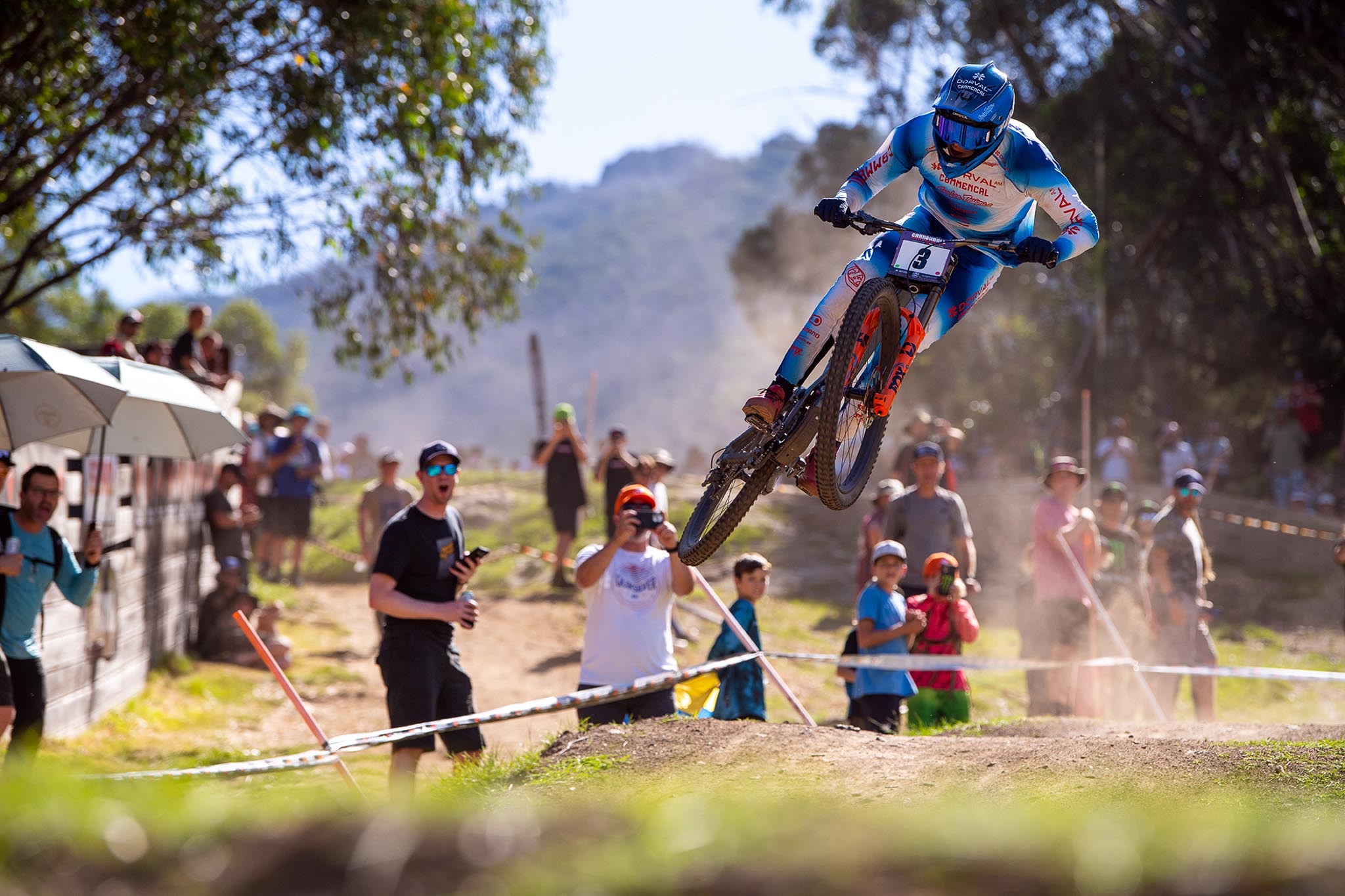
There are no sustained steep climbs, but you will be climbing or descending most of the time. Get ready for tight switchbacks, uncambered corners on loose surfaces, rocky step-ups and roll-offs/jumps, sandy sections and rockgardens – and sharp rocks everywhere. Most obstacles have a B-line. Locals describe the downhilling as ‘pretty casual’.

You’ll Need
A cross-country dually or hardtail is perfect for most trails. (If you want to try the downhill tracks, a trail bike will do the job.) Leave your lightweight race tyres at home – with Alice’s sharp thorns, tubeless is best, or put sealant in your tubes. Bring a spare tube on every ride, even for UST. Use a hydro-pack to keep hydrated in the low humidity.
Outback Cycling (outbackcycling.com) hires out a range of bikes.
Distances
The West Macs Track is 15km one-way, plus 5km to the start, and an 8km ride back to town at the end along the northern Stuart Hwy. This track is not a loop and there are no escape routes.
Alice’s other trails are shorter; link them up to create an infinite variety of loops and expeditions.
If you get lost, re-orientate yourself by looking for the MacDonnell Range (which runs east–west); no matter where you are, town will be in the same direction as The Gap.

Local Knowledge
The Ellery Creek Big Hole waterhole (80km west from town, via Larapinta Dr and Namatjira Dr) is a good place to chill during hot summer afternoons, as is the beer garden at Monte’s Lounge.
With its temperate climate, Alice Springs is the place to build-up confidence for night riding. The trails ride even better with a spot of rain.
Alice’s three bike shops are open Monday to Saturday.
Best Time of Year
Autumn to late spring you can ride any time of day, with pleasantly warm days right into May. You can ride in Alice Springs in the summer too – early morning or after sunset are best.